
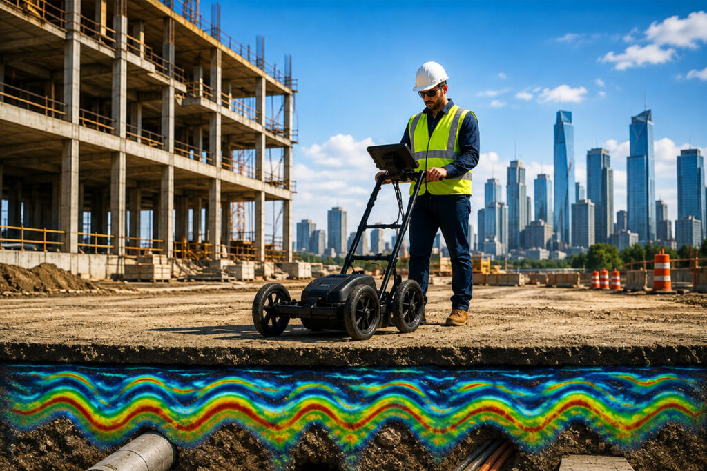
GIS ALPHABET Private Limited provides advanced Ground Penetrating Radar (GPR) Survey Services for accurate, efficient, and reliable underground utility detection and subsurface investigation. Using advanced GPR systems and professional data interpretation, we identify buried cables, pipelines, utilities, and other subsurface features across complex project sites. GPR-based surveys enable non-destructive data collection, improved site safety, and reduced excavation risks compared to conventional investigation methods. Our comprehensive data analysis, utility mapping, depth estimation, and customized deliverables provide valuable insights for construction, infrastructure development, industrial facilities, and engineering projects. Our GPR survey solutions help clients understand underground conditions, reduce accidental utility damage, improve planning, minimize project risks, and achieve safer, more efficient execution across small and large-scale project requirements.
Our GPR survey solutions combine speed, safety, non-destructive technology, and professional data interpretation to deliver a more efficient approach to underground utility investigation. By identifying potential subsurface features before excavation or construction begins, we help project teams improve planning, reduce risks, avoid costly damage, and maintain safer site operations.
Accurate Utility Detection
GPR technology helps identify potential underground cables, pipelines, and buried structures across the survey area.
Non-Destructive Investigation
Subsurface information can be collected without unnecessary excavation, helping minimize disruption to the project site.
Reduced Project Risks
Early utility identification helps reduce the risk of accidental damage, unexpected delays, and costly repairs.
Enhanced Site Safety
Reliable underground information supports safer excavation, construction, maintenance, and infrastructure development activities.
Our structured GPR survey workflow ensures reliable data and actionable deliverables for every project.
Understand the survey area, project requirements, site conditions, and investigation objectives.
Conduct systematic scanning using advanced Ground Penetrating Radar equipment across the designated survey area.
Process and interpret collected data to identify potential utilities, anomalies, and subsurface features.
Provide customized survey maps, findings, locations, depth information, and detailed reports based on project requirements.
Understand the survey area, project requirements, site conditions, and investigation objectives.
Conduct systematic scanning using advanced Ground Penetrating Radar equipment across the designated survey area.
Process and interpret collected data to identify potential utilities, anomalies, and subsurface features.
Provide customized survey maps, findings, locations, depth information, and detailed reports based on project requirements.
Our GPR surveys provide detailed information about underground conditions and potential buried features. Ground Penetrating Radar technology helps detect cables, pipelines, utilities, voids, and other subsurface anomalies without unnecessary excavation. Professional data interpretation can assist in understanding the location, alignment, and approximate depth of identified features. Survey mapping, marked locations, and detailed analysis make it easier for engineering and construction teams to plan excavation and take informed action before beginning site activities.
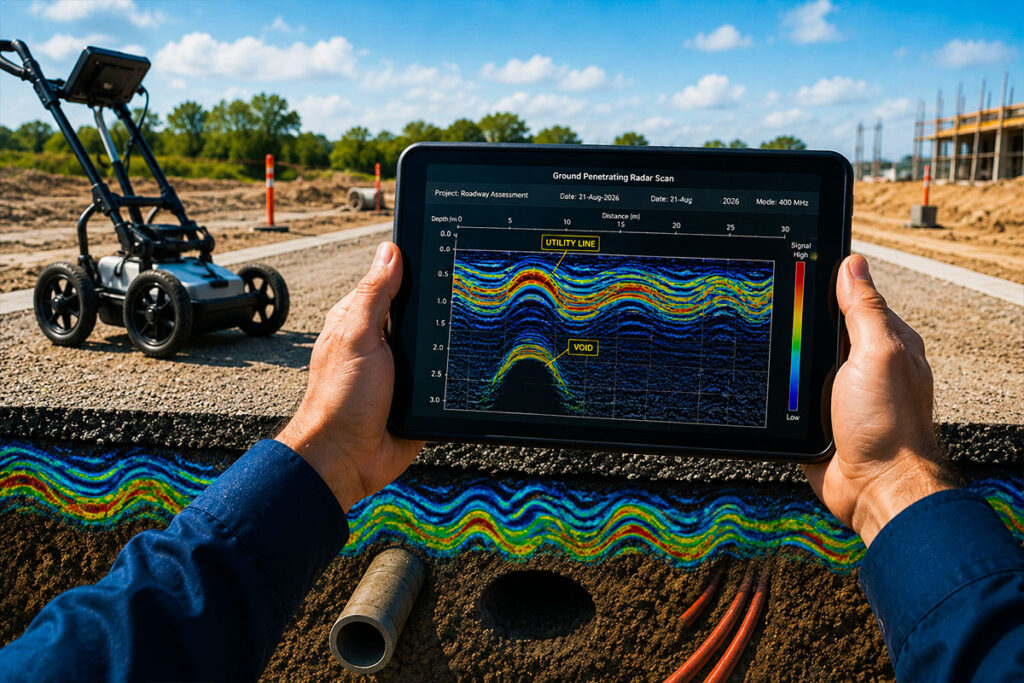
GIS ALPHABET Private Limited combines advanced GPR technology, professional field execution, technical data interpretation, and geospatial expertise to deliver reliable underground survey solutions.
Our services can be customized according to the site conditions, project requirements, survey area, and technical objectives of each investigation. With accurate subsurface information and actionable insights, we help engineers, contractors, and project teams improve planning, identify potential underground risks, protect existing infrastructure, and support safer project execution.
Modern GPR equipment and professional survey techniques for reliable underground utility detection.
Detailed subsurface information and actionable findings to support safer planning and engineering decisions.
Survey solutions tailored to your project site, underground conditions, and technical requirements.