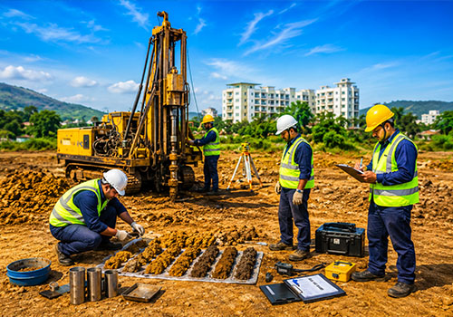
Delivering precise, innovative, and reliable engineering and design solutions through advanced technology, sustainable practices, and expert collaboration tailored for diverse projects.
Tech Solutions
Leveraging advanced technology, skilled expertise, and innovative solutions to ensure efficiency, precision, sustainability, and superior outcomes across diverse engineering and infrastructure projects.
Client Focus
Tailoring innovative solutions through strong collaboration, advanced technology, and strategic planning to meet client requirements effectively, efficiently, and seamlessly across diverse projects.
Excellence Driven
Prioritizing quality, innovation, sustainability, and precision-driven practices to consistently exceed client expectations while delivering impactful, efficient, and future-ready engineering solutions.