
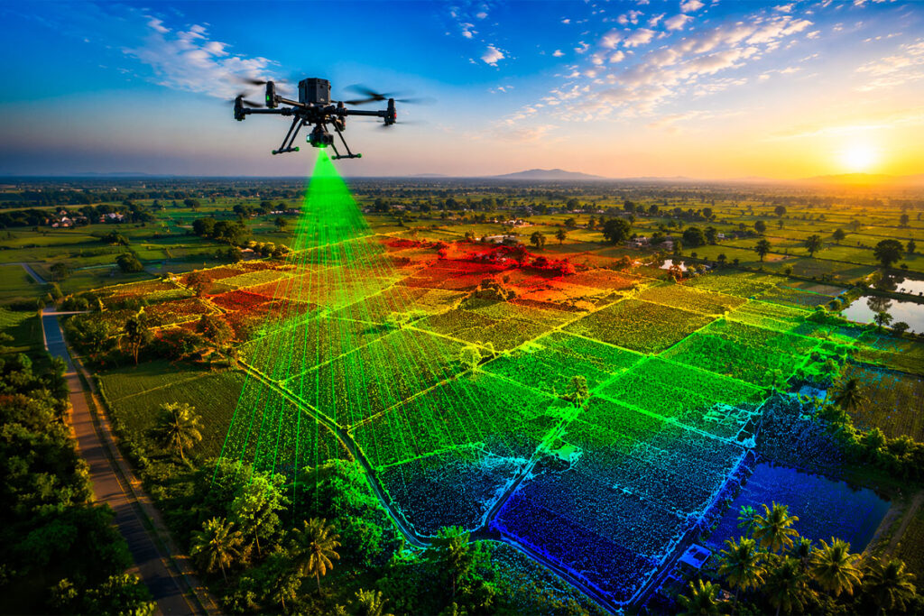
GIS ALPHABET Private Limited provides advanced Drone LiDAR Survey Services for accurate, efficient, and reliable topographical mapping and geospatial data collection. Using high-performance drone platforms, LiDAR sensors, and RTK technology, we capture high-density point cloud data across large, complex, and challenging project areas. Drone-based LiDAR surveys enable faster data acquisition, improved accessibility, and detailed terrain analysis compared to conventional surveying methods. Our comprehensive data processing, terrain modelling, elevation analysis, and customized deliverables provide valuable insights for planning, engineering, infrastructure development, and construction projects. Our LiDAR survey solutions help clients obtain accurate ground information, optimize project planning, reduce field time, improve decision-making, and achieve reliable results across small and large-scale survey requirements.
Our LiDAR survey solutions combine speed, accuracy, advanced sensors, and intelligent data processing to deliver a more efficient approach to topographical mapping and terrain analysis. By capturing detailed geospatial information across challenging and inaccessible areas, we help project teams improve planning, reduce survey time, and make informed engineering decisions.
Faster Data Acquisition
Drone LiDAR systems can rapidly cover large survey areas, significantly reducing field time compared to conventional survey methods.
High-Density Point Clouds
Advanced LiDAR sensors capture detailed point cloud data for accurate terrain analysis, elevation modelling, and feature identification.
Challenging Terrain Access
Drone-based surveys can efficiently collect data across difficult, remote, uneven, and inaccessible project locations.
Accurate Terrain Mapping
High-precision LiDAR data supports reliable topographical mapping, terrain modelling, and engineering analysis.
Our structured LiDAR survey workflow ensures accurate data and reliable deliverables for every project.
Capture high-resolution visual and thermal imagery using advanced drones.
Process collected data to identify faults, anomalies, and performance concerns.
Generate comprehensive reports with inspection findings, images, locations, and analysis.
Provide actionable information to support repair, cleaning, and maintenance planning.
Define the survey area, project requirements, flight parameters, and required accuracy.
Capture high-density point cloud and positioning data using advanced drone LiDAR technology.
Process collected data to generate accurate point clouds, terrain models, elevation information, and mapping outputs.
Provide customized survey data, maps, models, and reports to support planning and engineering requirements.
Our drone LiDAR surveys provide detailed three-dimensional information about the terrain and surrounding features. Advanced LiDAR technology can capture high-density data across large areas and assist in identifying ground elevation, slopes, terrain variations, and surface features. Data processing and classification can also support terrain modelling in challenging environments, including areas with dense vegetation and canopy. Accurate point cloud data, elevation models, and detailed analysis help engineers and project teams understand site conditions and make informed decisions.
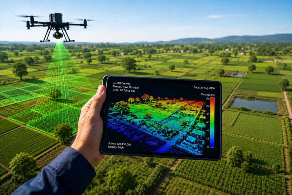
GIS ALPHABET Private Limited combines advanced drone technology, LiDAR sensors, high-precision data capture, and geospatial expertise to deliver reliable survey solutions.
Our services can be customized according to the size, terrain, location, and technical requirements of each project. With accurate geospatial data and actionable insights, we help engineers, consultants, and project teams improve planning, reduce survey time, understand terrain conditions, and support efficient infrastructure development.
Modern drones, LiDAR sensors, and RTK positioning technology for high-precision surveys.
Reliable terrain data and detailed geospatial information to support informed engineering decisions.
Survey solutions tailored to your project area, terrain conditions, and technical requirements.