GIS ALPHABET is a technology-driven company leveraging AI, ML, robotics, UAVs, and drones to address climate change challenges. With expertise across energy, defence, and industry sectors, it promotes sustainable solutions in agriculture, flood management, urban planning, and transportation. Through drone entrepreneurship programs, the company empowers communities, creates livelihoods, and supports smarter, greener development across India.
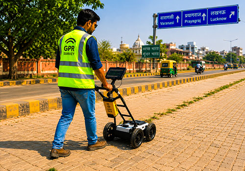
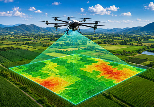
Advanced rural and urban mapping solutions for utilities, transport, taxation, solar assessment, and flood management.
Smart recycling kiosks empower entrepreneurs to collect plastic waste and support sustainable community recycling initiatives.
Get in touch with GIS Alphabet Pvt. Ltd. and explore how our innovative solutions, expert team, and technology-driven approach can turn your projects into successful, impactful, and efficient outcomes.
Tailoring innovative solutions through strong collaboration, advanced technology, and strategic planning to meet client requirements effectively, efficiently, and seamlessly across diverse projects.
Prioritizing quality, innovation, sustainability, and precision-driven practices to consistently exceed client expectations while delivering impactful, efficient, and future-ready engineering solutions.

Delivering precise, innovative, and reliable design and engineering solutions for every project.

Leveraging advanced technology to ensure efficiency, accuracy, and superior project outcomes.

Tailoring solutions through collaboration to meet client needs effectively and seamlessly.

Prioritizing quality, innovation, and sustainability to exceed expectations consistently.








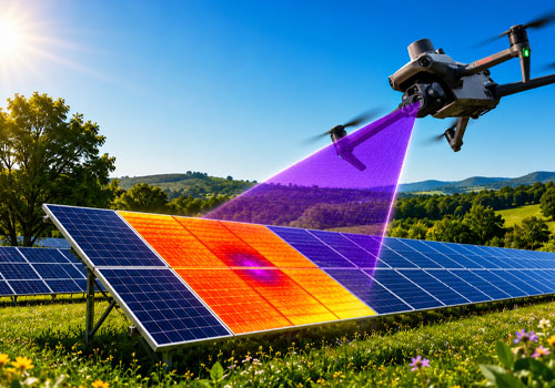
GIS Alphabet provides GIS mapping, drone surveys, remote sensing, precision agriculture, solar project monitoring, utility mapping, climate management solutions, and AI-powered data processing services for multiple industries and government sectors.
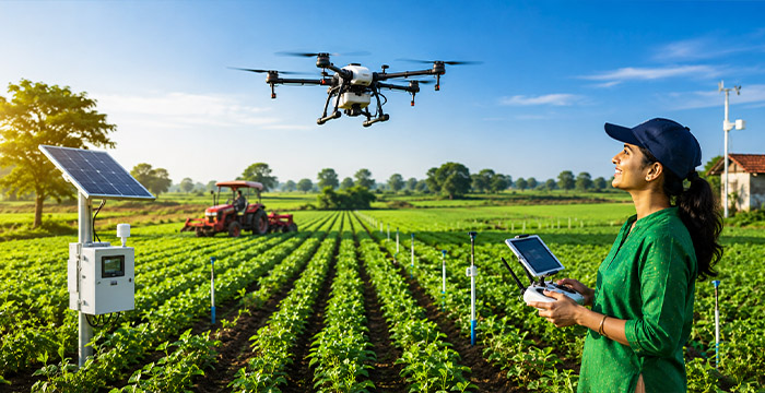
GIS Alphabet supports agriculture through crop health monitoring, drone spraying, yield estimation, soil analysis, hydrology assessment, precision farming, and geotagging solutions that improve productivity while reducing operational costs and resource usage.
GIS Alphabet serves agriculture, forestry, telecom, energy, urban planning, infrastructure, transportation, smart cities, environmental management, and utility sectors by delivering innovative GIS, drone, and remote sensing technology solutions.
GIS Alphabet combines advanced technology, skilled professionals, drone entrepreneurship programs, cost-effective services, quality-focused execution, and timely delivery to provide innovative and sustainable solutions tailored to diverse client requirements.
Drone services improve surveying accuracy, reduce operational costs, accelerate data collection, enhance monitoring capabilities, support smart planning, and provide real-time insights for efficient decision-making and project management.
Explore our gallery showcasing innovative solutions in mapping, precision agriculture, sustainability, drones, and smart technology-driven projects that reflect our commitment to efficiency, innovation, and impactful community development.
Hear from our clients who inspire us to deliver excellence, reliability, and value in every project.